Whether you’re a first-time visitor or a Cleveland regular, getting around The Land is a cinch with a mix of convenient public transit, scooter rentals and classic taxis. Buckle up (or, more accurately, don’t — scooters are seatbelt-free) as we guide you through the different ways to navigate the city effortlessly and embrace all of Cleveland's adventures.
By Car
Who’s down for a road trip? Cleveland is located within 500 miles of 50% of the United States population and is ideally situated at the intersection off of three major interstate highways, namely I-90, I-77 and I-71 and along the Ohio Turnpike I-80. Easy routes and excellent positioning provide shorter drive times than other Midwest destinations.
Amtrak
Trains arrive and depart from Amtrak’s Downtown station at North Coast Harbor. The Lake Shore Limited and Capitol Limited routes connect attendees to Cleveland from other major cities, including Chicago, Pittsburgh, Washington D.C. and New York City. Go ahead and take the midnight train to Cleveland.
Taxi & Ride Share
When you’re in The Land, getting around proves as easy as getting here. CLE Hopkins Airport offers dedicated taxicab service by Ace Taxi and Americab. Taxis can be found on the Baggage Claim level by carousel #11. Uber and Lyft also service the Greater Cleveland area. So, you’ll never be without a ride when you’re here.
eBIke & Scooter Rentals
Looking to feel that Lake Erie wind in your hair as you travel through The Land? Of course you do. You can rent from a variety of shared mobility scooters for quick and easy transportation around Cleveland. The following e-scooters — Bird, Lime, Spin and Superpedestrian — are available daily from 5 a.m. to 9 p.m. Download the respective app, and you’re on your way.
Greater Cleveland Regional Transit Authority
With over 50 bus routes (and 6,000 stops) to choose from, passengers get a front-row seat to the architecture, murals and parks that give CLE its distinctive look and feel. Embrace the journey one ride at a time.
The HealthLine Bus Rapid Transit (BRT) rolls east down the Euclid Corridor (extending out to University Circle and beyond), while the Cleveland State Line BRT heads into the western suburbs — including a stop at shopping mecca Crocker Park.
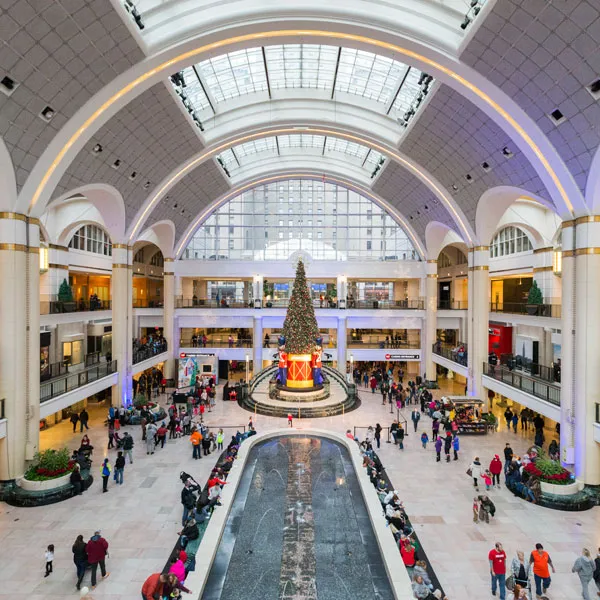
Our Red Line heavy rail connects 18 stations from Cleveland Hopkins International Airport to Tower City to Windermere in East Cleveland. The Red Line also affords easy access to the lively Ohio City and Little Italy neighborhoods. The Blue & Green Line light rail service brings the East Side to life. The Shaker Square and Van Aken, retail and dining districts, are just a short ride away.
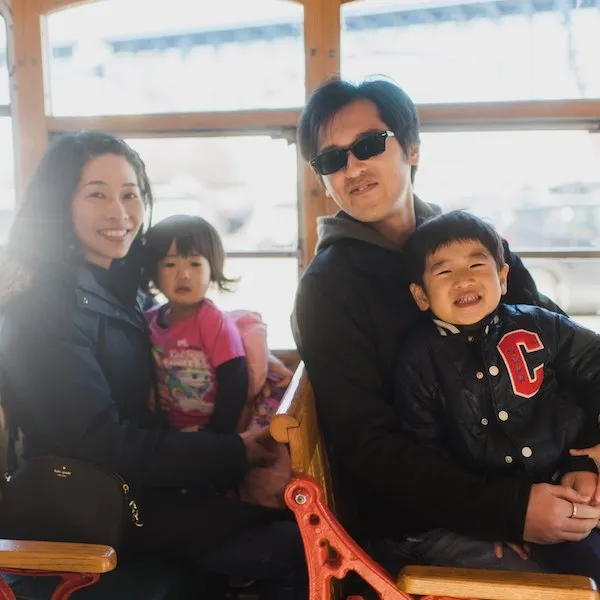
Hop aboard the B-Line Downtown Trolley and explore local faves in Cleveland’s Warehouse, Huntington Convention Center of Cleveland and Public Square districts. No bus fare necessary — service is “free with a smile,” thanks to the generosity of sponsors.
Each trip on Cleveland’s public transportation system gets you there without breaking the bank. Fares start at $2.50 for one-way trips and $5 for an unlimited-use daily pass.